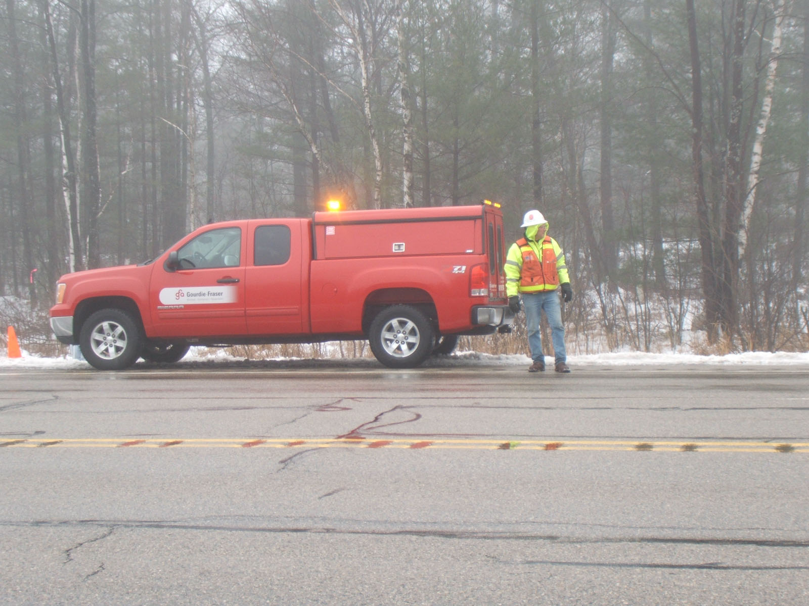
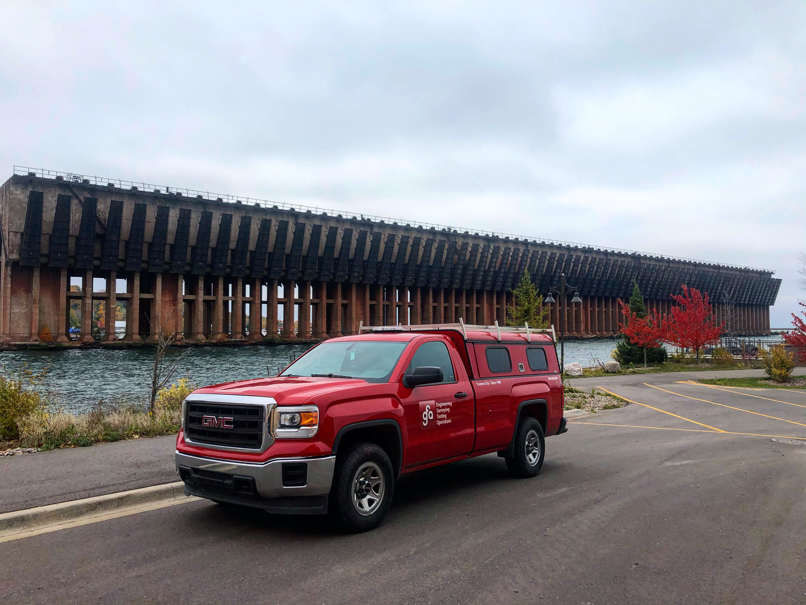
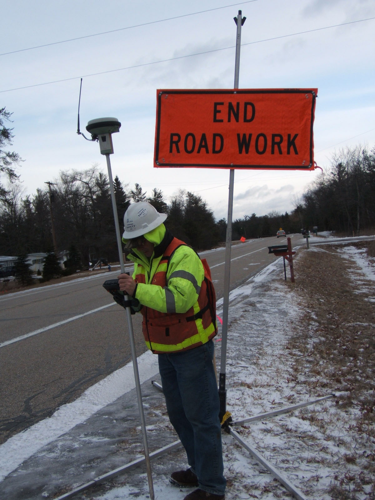
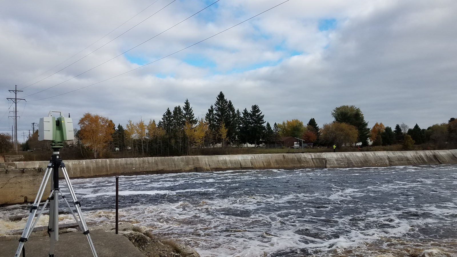
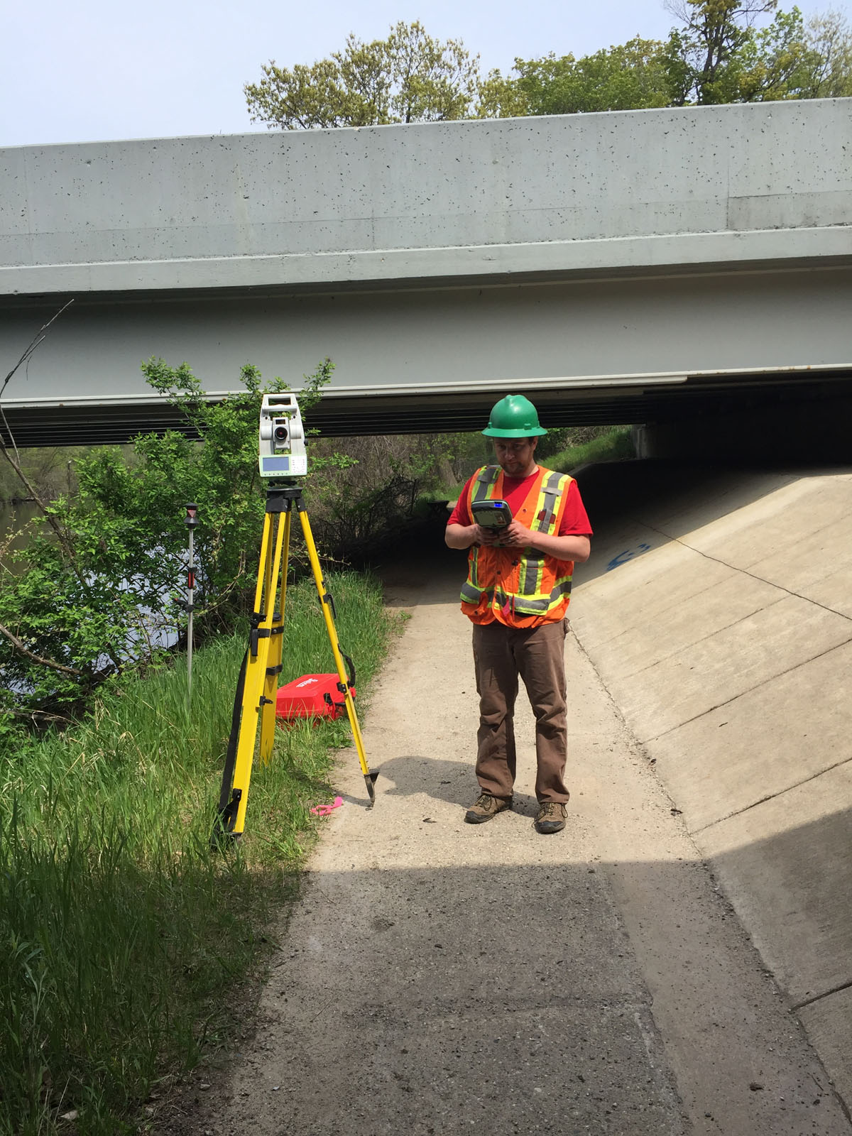
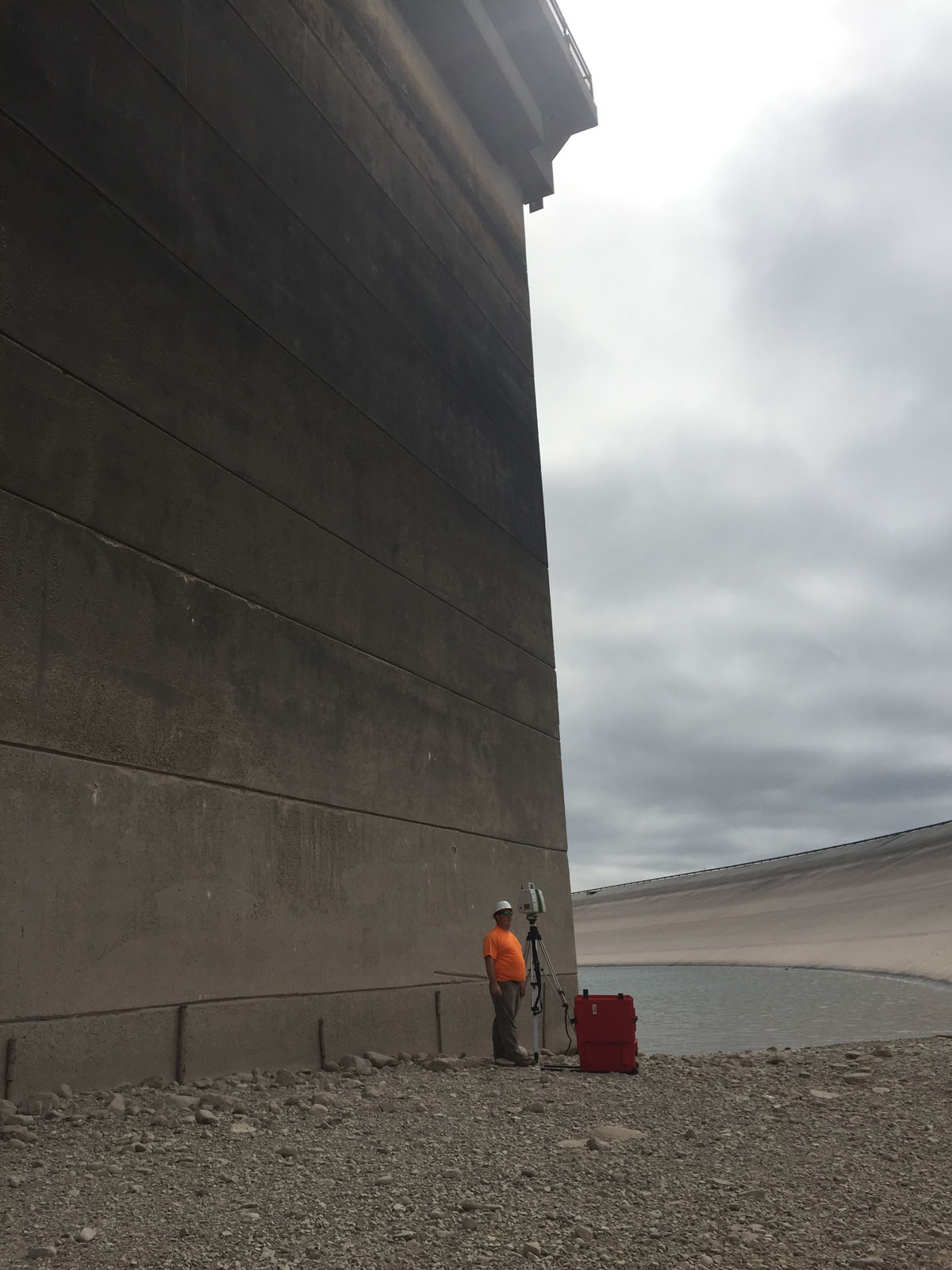
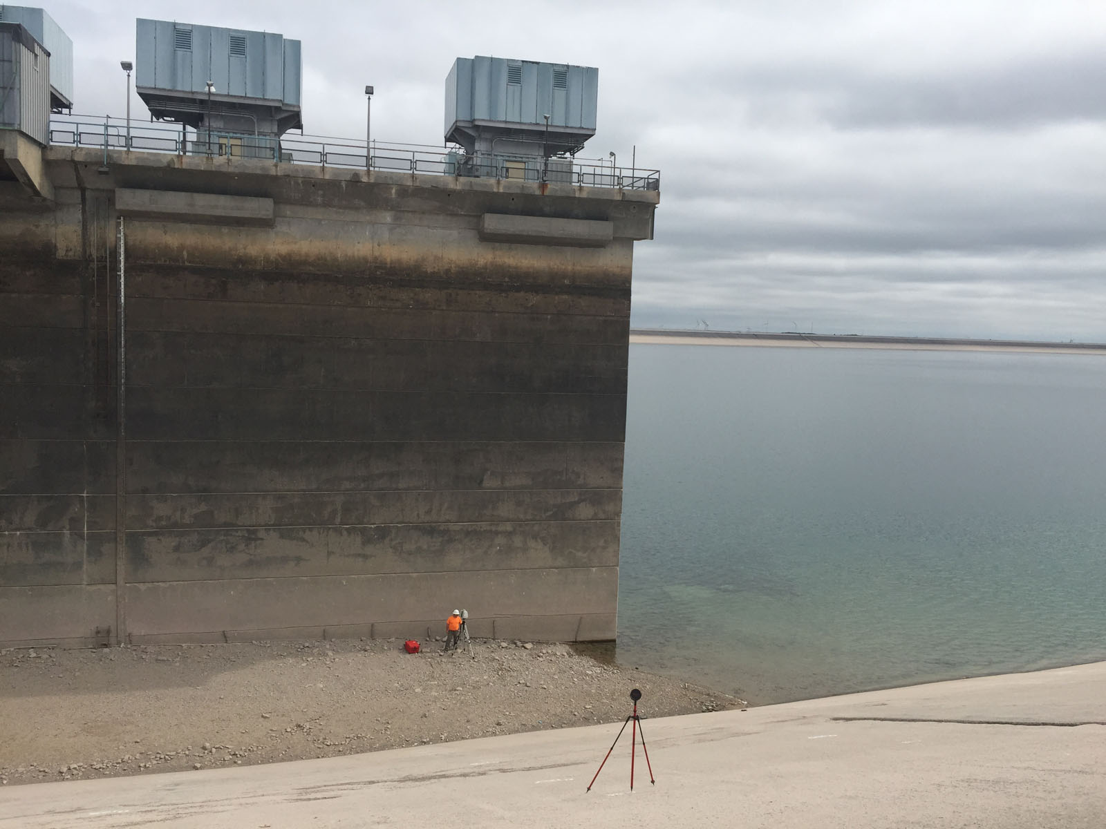
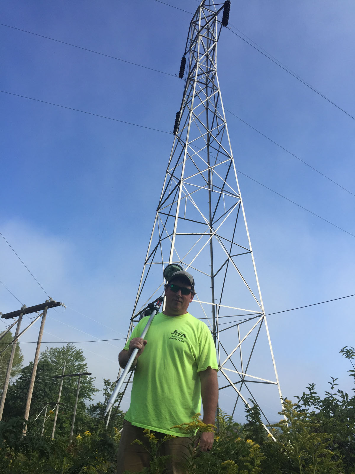
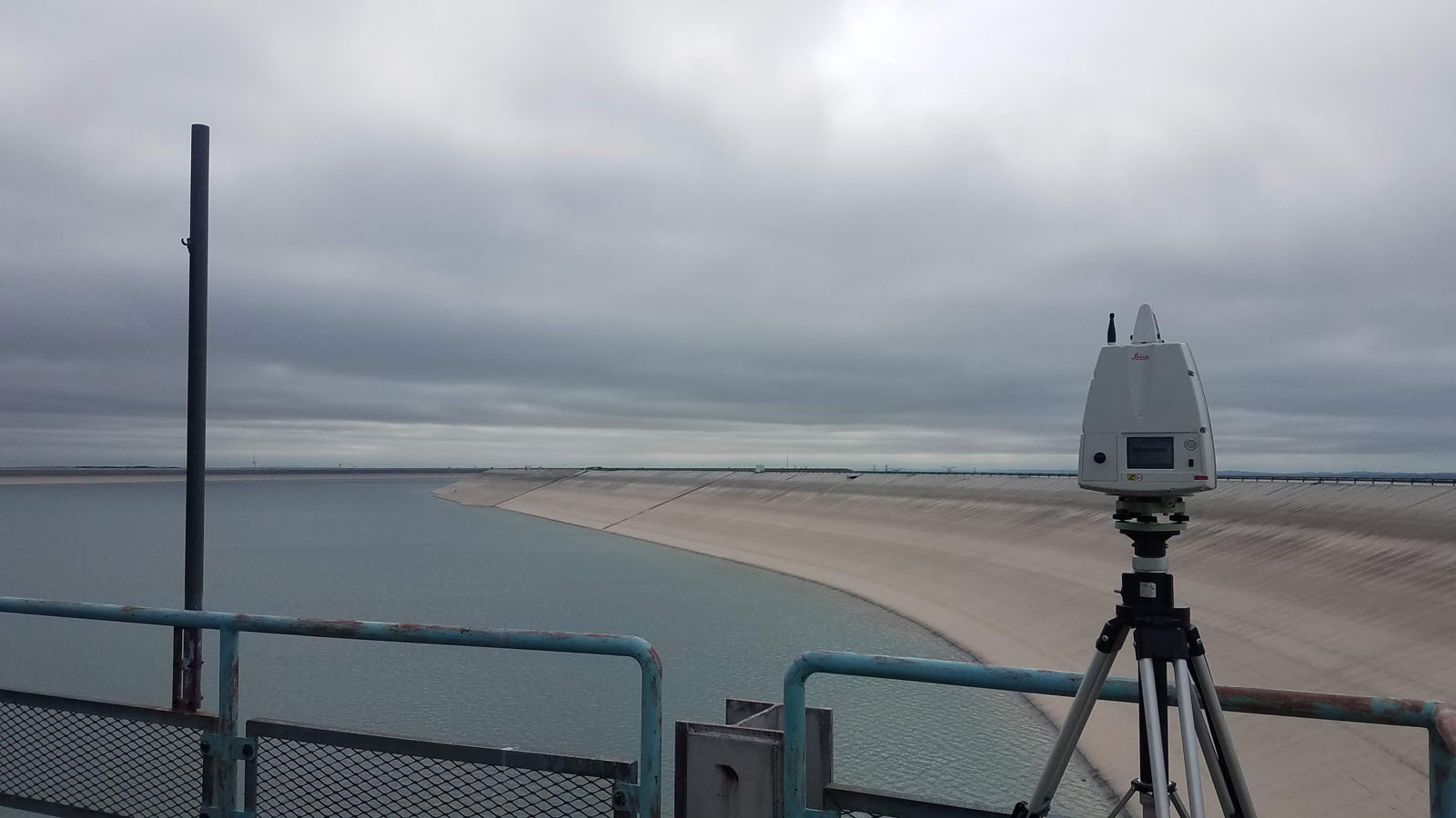
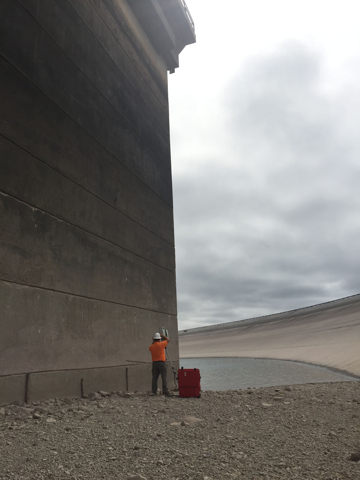
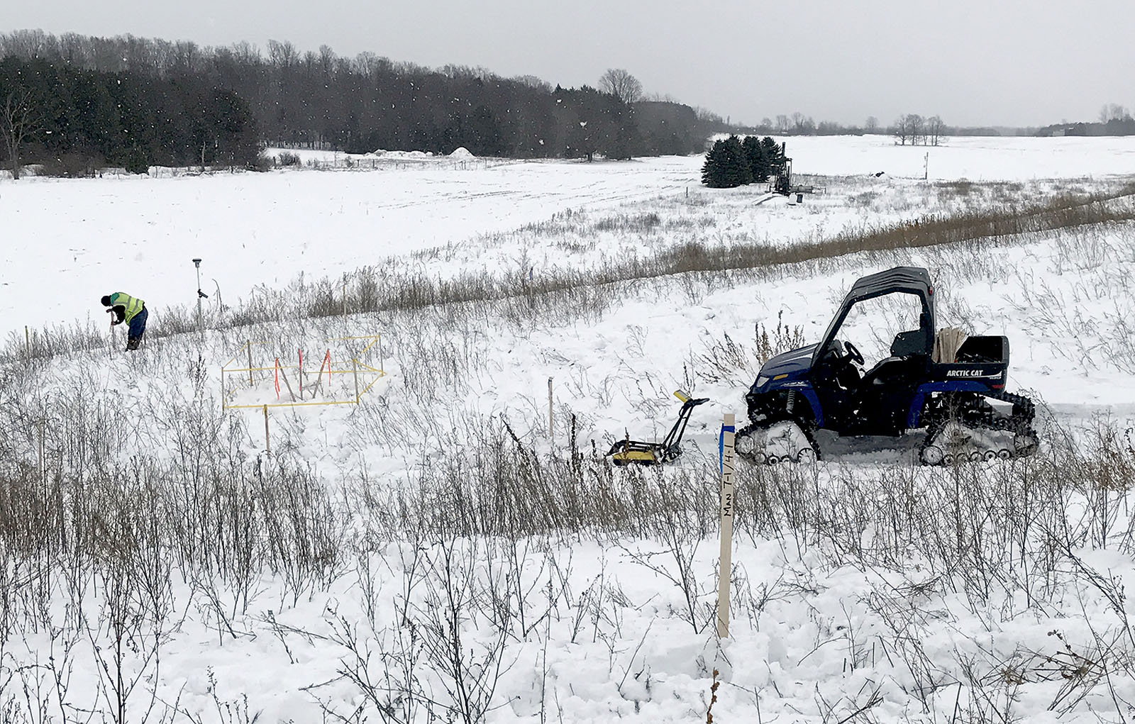
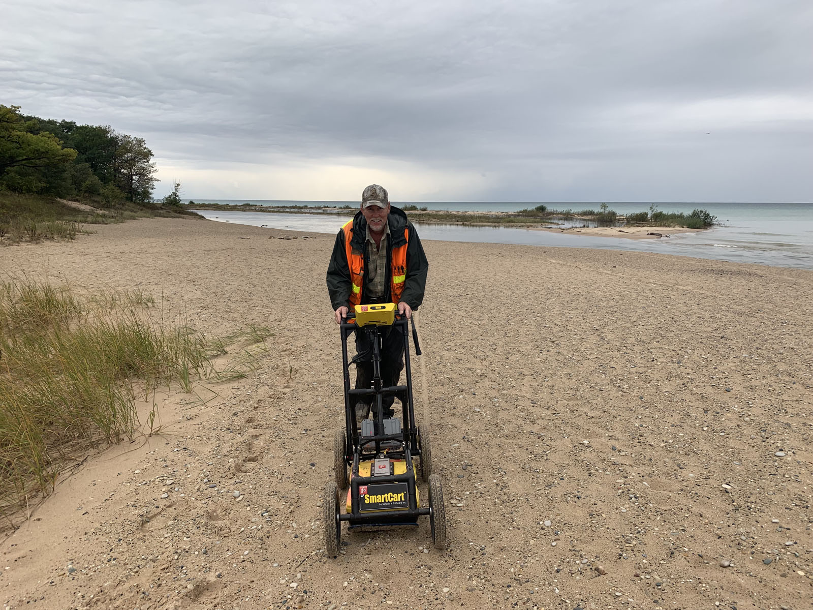
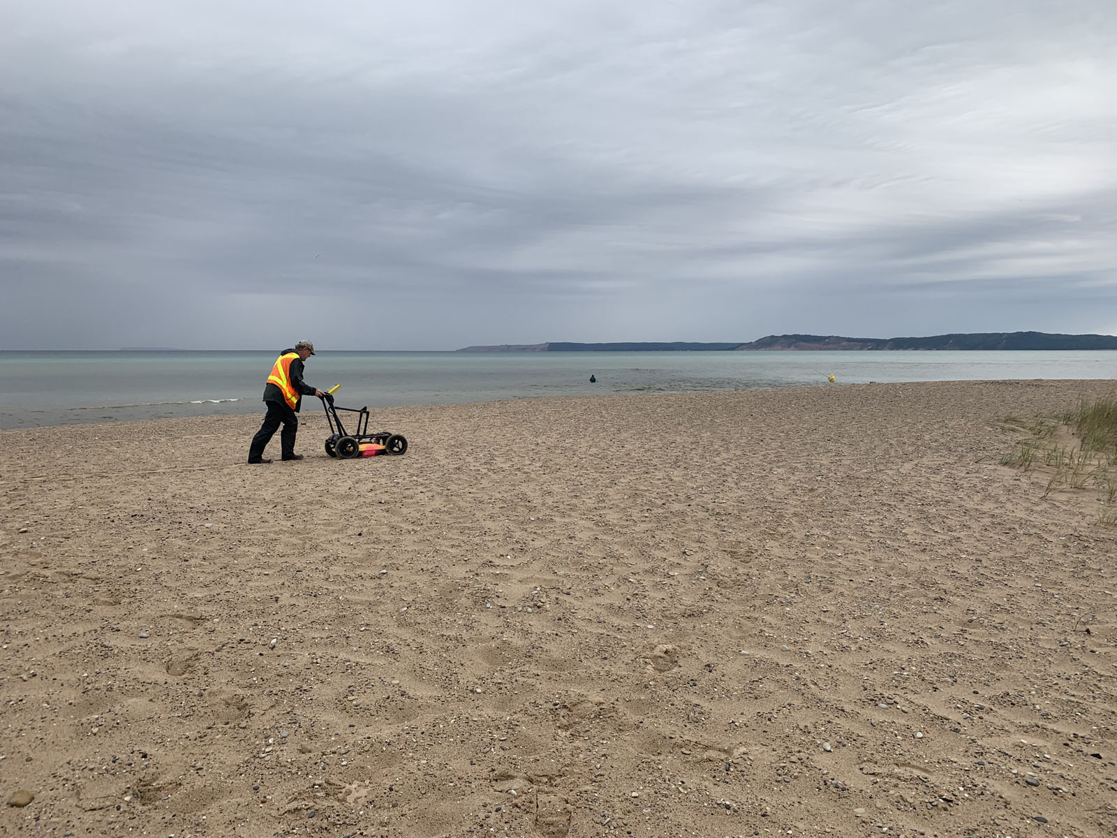
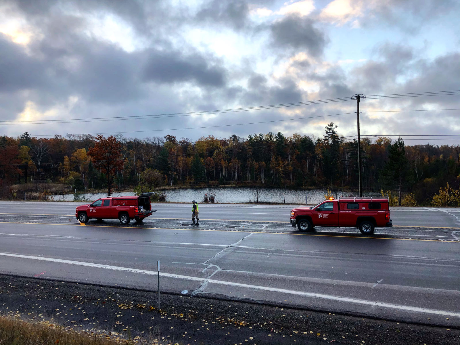
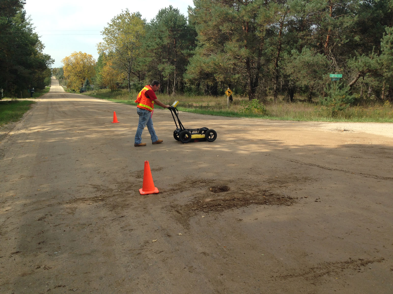
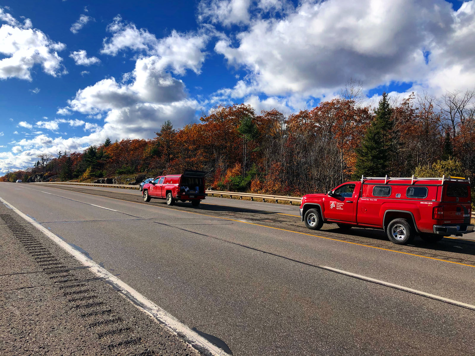
At GFA, virtually whatever your surveying needs, we have the equipment to accomplish your aims. Top of the line GPS units, robotic total stations, digital levels, single and multi-beam SONAR arrays, Laser Scanners, ground penetrating radar units (GPR), and drones, all paired with trucks, ATV’s, Argo’s, and boats that we can go anywhere, see everything, and Survey it all. All of that cutting edge technology is nearly meaningless without a powerful team to operate and assess the data retrieved. At GFA we have the character and expertise to fully utilize our technological capabilities; between our field team we have a combined nearly century of experience, and among our office staff there is close to 95 years experience
Our drones are adaptable to just about any surveying need, from marketing applications like aerial photos or detailed fly throughs, to mapping and stockpile calculations, and inspections of buildings and other structures. Our mapping drone is equipped with on-board GPS and dedicated Base unit that, when constrained to ground control, can get accuracies closer than three centimeters while also being an excellent tool for large scale, open area mapping. Our drones have been successfully used for simple marketing projects, to large scale emergency mapping projects for the state of Michigan covering nearly 1.5 square miles.

.jpg)